
Autor: Karolína Hájková
-

Building Bridges in Dresden: Advancing Light Pollution Research
Between September 29 and October 31, 2025, researcher Tomáš Klouček spent a productive month at the Technical University of Dresden (TUD), working with the Environmental Remote Sensing Group led by Prof. Dr. Matthias Forkel. His stay was part of the project “Building Bridges between Earth Observation and Environmental Sciences” and aimed to strengthen international collaboration…
-

New Paper by Petra Pracná Explores High-Resolution Global Terrain Mapping Using ICESat-2 and GEDI
A new research article led by Petra Pracná from the Czech University of Life Sciences Prague, co-authored by Vítězslav Moudrý, Eliška Šárovcová, Kateřina Gdulová, and international partners, presents an important step toward creating more accurate global terrain models.The study, published in Science of Remote Sensing and funded by the Horizon Europe project EarthBridge, investigates how…
-

Towards 90 m Resolution Digital Terrain Models from Spaceborne Lidar: Balancing Accuracy and Sampling Intensity
Author: Petra Pracná Mapping the Earth’s terrain beneath forests and across rugged mountains has always been a challenge. Traditional lidar surveys can achieve high accuracy but are limited in spatial coverage and costly to repeat. With the launch of NASA’s ICESat-2 (Ice, Cloud and land Elevation Satellite-2) and GEDI (Global Ecosystem Dynamics Investigation) missions, we…
-

Mining palimpsest: Distinguishing between prehistoric and modern mining using remote sensing methods, field survey and MaxEnt
Author: Jan Fišer The history of the use of certain raw materials goes back thousands of years. This is also the case for the quartzite deposits at Písečný vrch near Most, Czech Republic. While in prehistoric times raw material was used to make stone tools, several thousand years later – in the 20th century –…
-

EarthBridge Conference 2025 in Kostelec nad Černými lesy
On September 25–26, the EarthBridge Conference took place at the Castle in Kostelec nad Černými lesy, bringing together researchers and experts in remote sensing, biodiversity, and environmental applications. The conference opened with keynote talks by Matthias Forkel (Earth Observation and Environmental Practice: Bridging, Reinventing the Wheel or Ready for Take-off?) and Duccio Rocchini (Reckoning descriptors…
-

Vítězslav Moudrý from the EarthBridge team co-authored a new article in Forest Ecology and Management
Authors: Vítězslav Moudrý, Xiao Liu, Bernhard Schuldt, Matthias Forkel Our colleague Vítězslav Moudrý from the EarthBridge project contributed as co-author to a recently published scientific article in the journal Forest Ecology and Management. The study uses data from NASA’s spaceborne lidar mission GEDI (Global Ecosystem Dynamics Investigation) to uncover important changes in Central European protected…
-

Flying Higher for Forest Insights: Accuracy and Limits of Drone-Based Tree Height Estimation
Author: Komárek J., Rous J., Klouček T. (2025). The bigger, the better? Sample size effects in drone-estimated forest height. Journal of Forestry Research. In press. Forests are central to the Earth system. They harbour biodiversity, regulate water and nutrient cycles, protect soil, and store vast amounts of carbon. Their structure is a key parameter shaping…
-

CZU Researchers Presented Cutting-Edge Findings at the GfÖ Annual Meeting in Würzburg
From September 15–19, 2025, a team from the Czech University of Life Sciences Prague (CZU) – Dominika Prajzlerová, Vojtěch Barták, and Vítězslav Moudrý – participated in the 54th Annual Meeting of the Ecological Society of Germany, Austria, and Switzerland (GfÖ), held in Würzburg, Germany. The GfÖ is one of the largest ecological societies in Europe,…
-
Research Visit to Bologna: Canopy Heights, Forests & Collaboration
From May 8 to 18, 2025, Vojtěch Barták from the Faculty of Environmental Sciences completed a scientific exchange at the University of Bologna as part of the EarthBridge project. The visit aimed to advance research on forest canopy height modeling using GEDI satellite data combined with Sentinel-1, Sentinel-2, and Copernicus DEM inputs. A key collaborator…
-
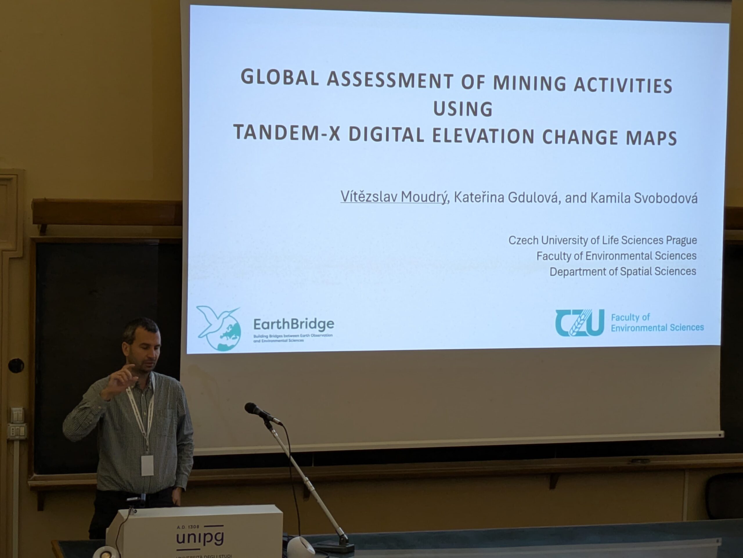
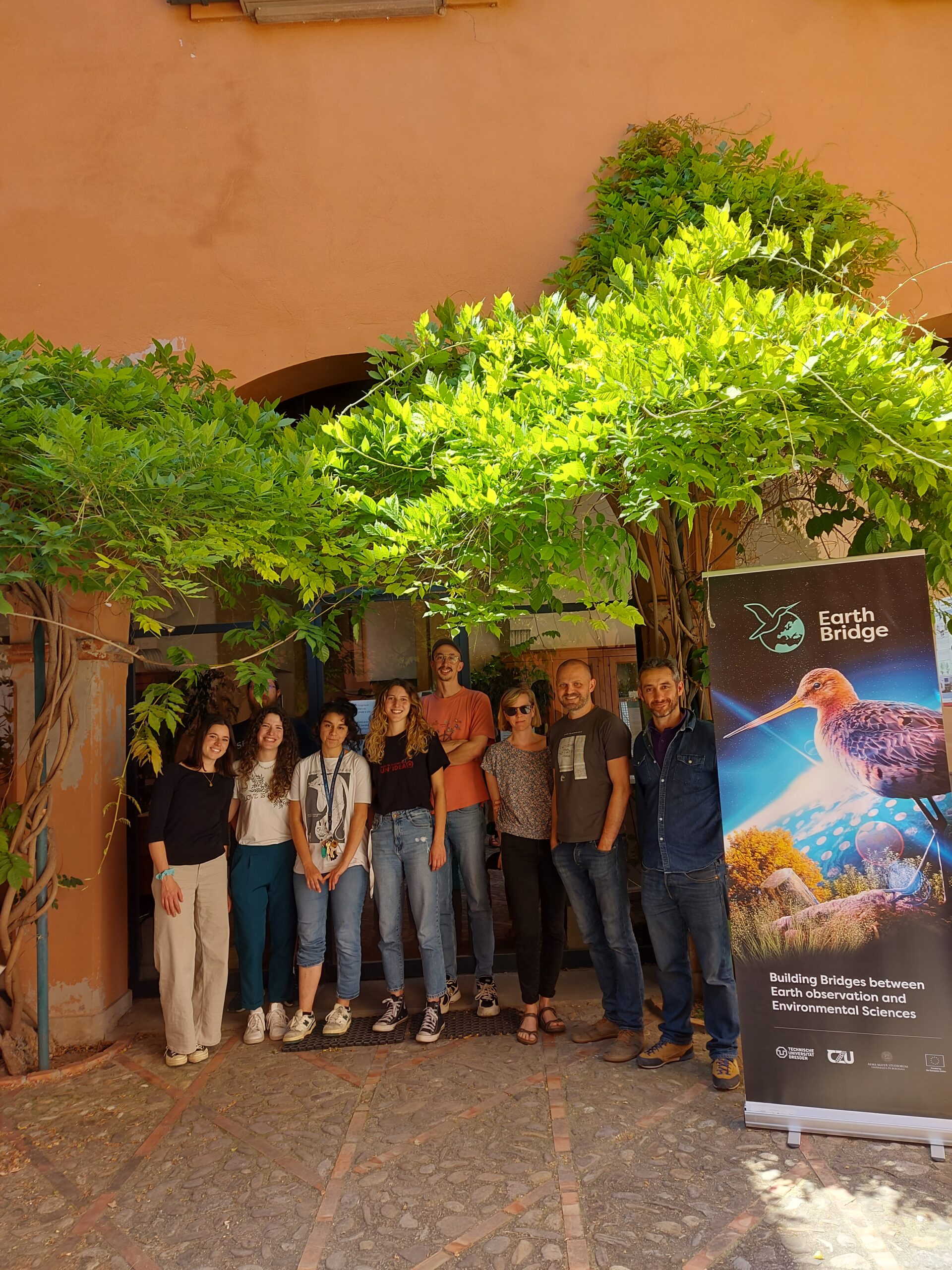
Vítězslav Moudrý from the Czech University of Life Sciences attended the 8th Geomorphometry Conference in Perugia
The International Society for Geomorphometry (ISG) is an international association of researchers and experts open for free exchange of knowledge and opinions about various aspects of digital elevation models (DEM) processing and digital relief analysis. With today’s rapid growth in sources for mass-produced surface heights, such as the Copernicus DEM and laser ranging (lidar) technology,…