The International Society for Geomorphometry (ISG) is an international association of researchers and experts open for free exchange of knowledge and opinions about various aspects of digital elevation models (DEM) processing and digital relief analysis. With today’s rapid growth in sources for mass-produced surface heights, such as the Copernicus DEM and laser ranging (lidar) technology, geomorphometric methods are becoming increasingly attractive to many disciplines. The operational focus of geomorphometry is the extraction of land-surface parameters and objects from DEMs. In the most simple terms, geomorphometry is everything you can extract from DEMs (https://www.geomorphometry.org/)!
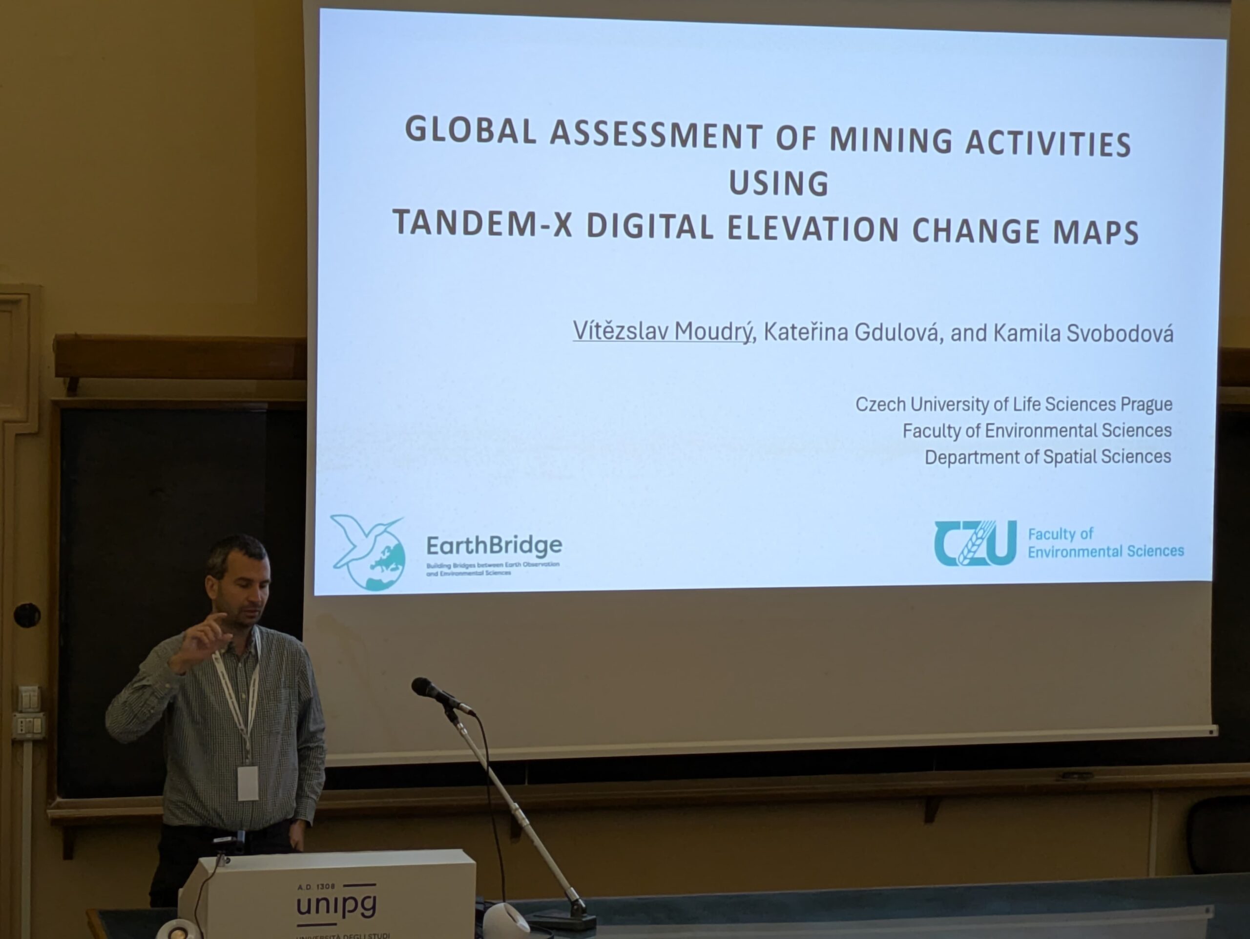
The 8th Geomorphometry Conference took place in Perugia, Italy, from June 9 to 13, 2025. At the conference, Vítězslav Moudrý delivered a presentation titled ‚Global Assessment of Mining Activities Using TanDEM-X Digital Elevation Change Maps,‘ which focused on estimating the volumes of extracted and deposited materials from opencast mining activities worldwide.


