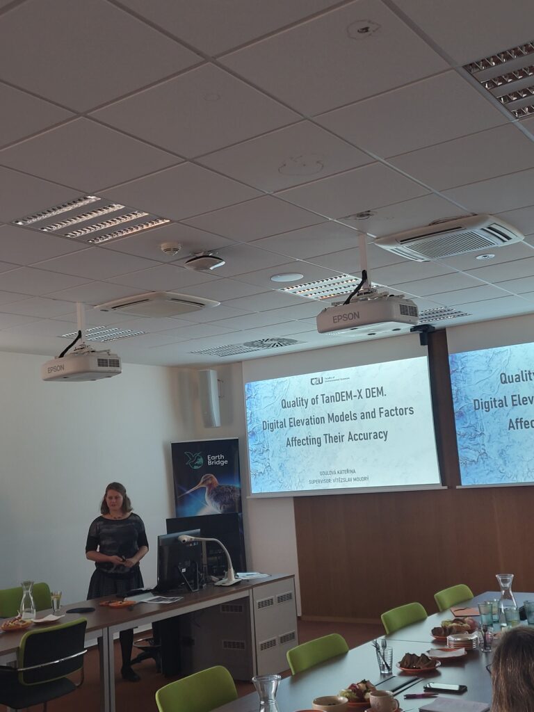
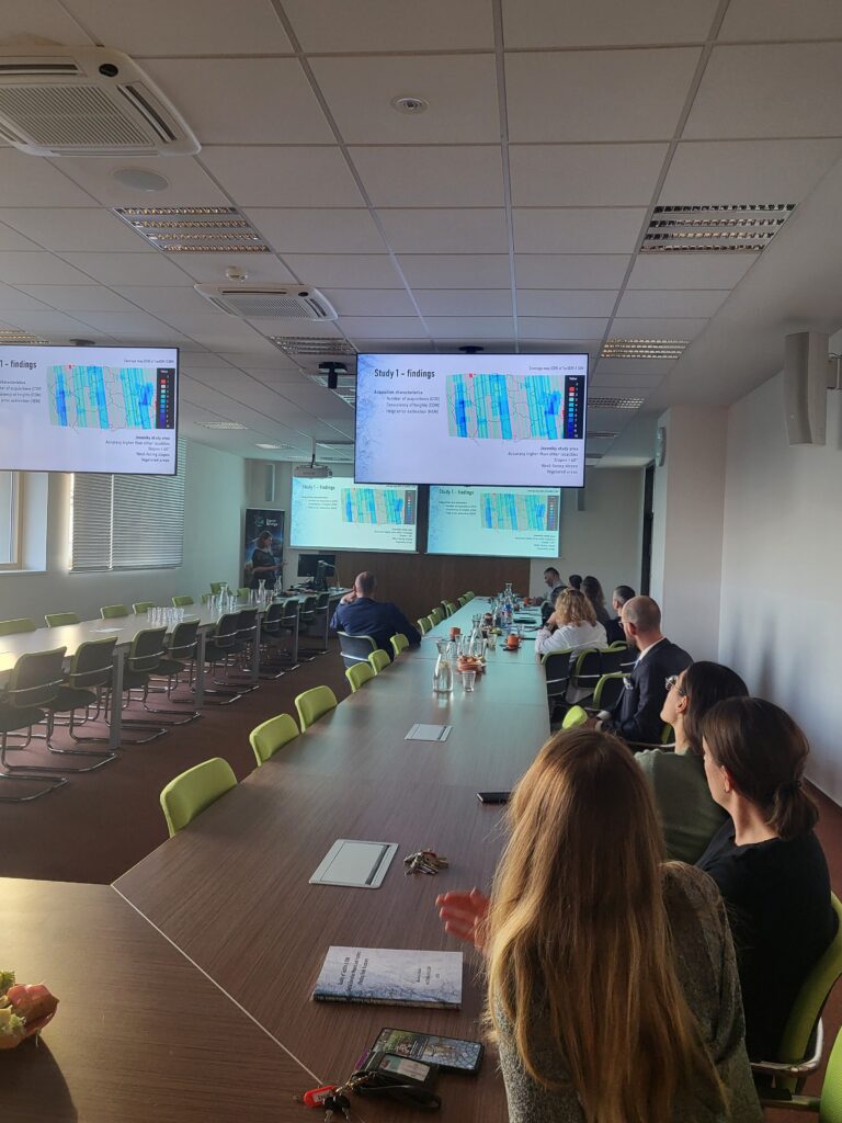
The defended thesis presents innovative research on the vertical accuracy of global digital elevation models (DEMs) with emphasis on the TanDEM-X DEM as the latest addition to the global DEMs. It is based on three scientific papers:
Study 1 – TanDEM-X DEM Accuracy: Published in Remote Sensing of Environment—the leading journal in the field—this study examines how terrain features (e.g., slope, aspect), satellite parameters, and land use influence DEM height accuracy in mountainous regions.
https://doi.org/10.1016/j.rse.2020.111724
Study 2 – Comparing accuracy of Global DEMs: This research compares several global DEMs and post-processed DEMs (like Copernicus DEM), highlighting challenges in specific terrain types and proposing ways to detect potential inaccurate areas using satellite capture characteristics. Copernicus DEM is the winner!
https://doi.org/10.3390/rs13193931
Study 3 – Global DEMs for Deforestation Monitoring: Demonstrates the utility of DEMs for tracking forest canopy changes, emphasizing their potential for their use in environmental and ecological monitoring despite certain limitations.
https://doi.org/10.3390/rs13153042
The thesis provides practical recommendations for selecting and preprocessing DEMs, emphasizing the usefulness of satellite capture characteristics like the Coverage Map and Consistency Mask to identify errorneous areas.
The defense provoked an engaging discussion, such as the selection of study areas, differences in X-band and C-band radar acquisitions and their potential impact on vertical errors in TanDEM-X DEM in the Tatra Mountains and the Alps.


