Choosing the Optimal Global Digital Elevation Model for
Stream Network Delineation: Beyond Vertical Accuracy
The Importance of Digital Elevation Models (DEMs)
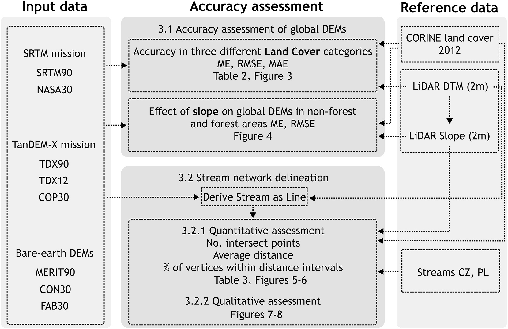
Global digital elevation models (DEMs) are vital for various hydrological applications, including stream network delineation and flood modeling. However, their accuracy often suffers from vegetation and building offsets, making bare-earth DEMs a promising alternative. This study assessed the vertical accuracy of eight global DEMs, including vegetation-free models like FABDEM, MERIT, and CEDTM, in the mountainous terrain of Central Europe. The focus was on understanding how DEM resolution, vegetation bias removal, land cover, and slope influence the accuracy of topographic and hydrological analyses.
Key Findings: Land Cover and Terrain Slope Impact
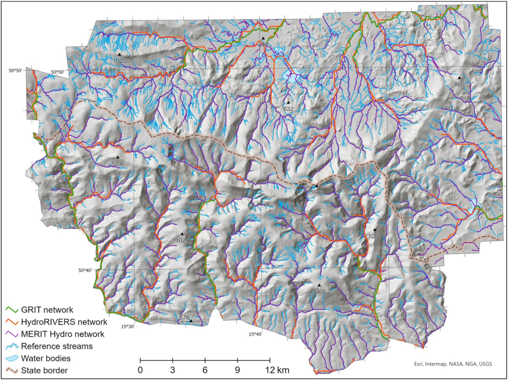
The study revealed significant variations in DEM accuracy depending on land cover and terrain slope. Forested areas showed the lowest accuracy across all DEMs due to vegetation bias, despite the improvements offered by bare-earth models. Non-forest areas exhibited higher accuracy but saw a steep decline with increasing slope. Interestingly, while DEM accuracy decreases with slope, the accuracy of stream network delineation improves. This highlights the complex interaction between topography and DEM performance.
Bare-Earth Models and Stream Network Delineation
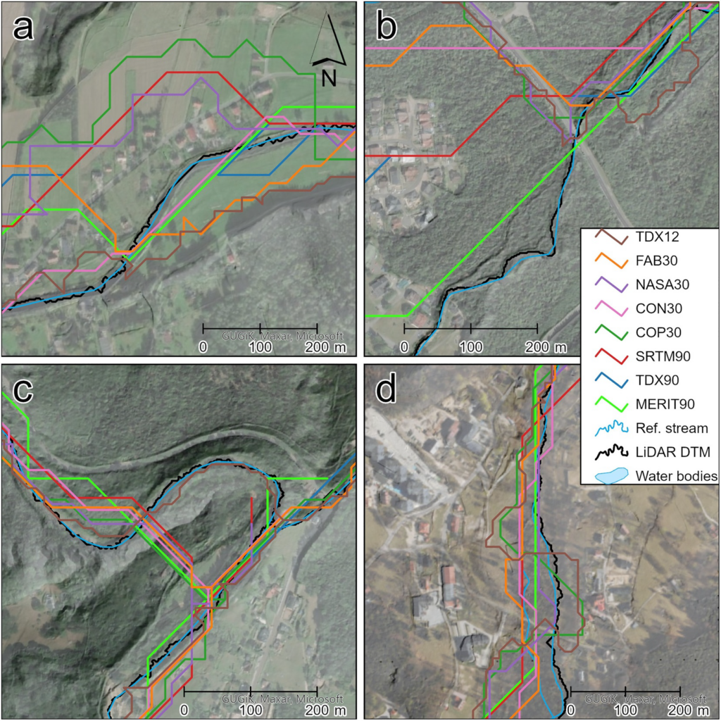
Bare-earth DEMs, particularly FABDEM, outperformed traditional global DEMs in both vertical accuracy and stream network delineation. Despite its coarser resolution compared to TanDEM-X at 12 m, FABDEM consistently provided better results across diverse land cover types. However, finer-resolution models like TanDEM-X demonstrated better performance in capturing meandering streams, emphasizing the need for effective vegetation bias removal at higher resolutions.
Towards a New Standard in DEM Quality
The findings underscore the necessity of combining vertical accuracy metrics with application-specific evaluations, such as stream network performance, in assessing DEM quality. As DEM resolutions continue to improve, removing vegetation offsets becomes increasingly critical. Developing a global bare-earth model at a 12 m resolution, leveraging advances in vegetation height mapping, would mark a significant step forward for hydrological modeling and other topographic analyses.
See full article here: https://agupubs.onlinelibrary.wiley.com/doi/full/10.1029/2024EA003743


