I can hardly remember the last time I attended the GISOstrava conference. It must have been several years ago, which made it all the more special to attend the 30th edition of the event. It was nice to revisit familiar places, meet up with good friends and former students, and present in front of many people from academia, industry and public administration.
GISOstrava 2025 offered a two-day programme covering topics such as Digital Technical Map, Remote Sensing and Unmanned Systems, Urban and Municipal GIS, Using Mobile Operator Data, BIM and GIS, and several others.
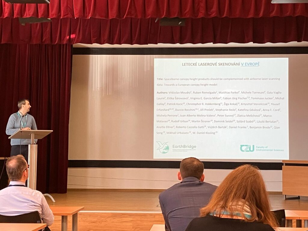
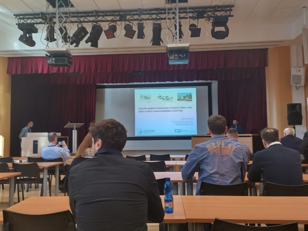
I presented my contribution on “Airborne Laser Scanning in Europe and Czechia: Status, Challenges, and Ways to More Effective Data Utilisation” in the session on Open and Community Geodata. While I have had the opportunity to speak about ALS data availability in Europe at several international conferences, this was the first time I presented the topic in Czechia. It was an ideal opportunity to focus on ways to ensure that ALS data in Czechia remain up-to-date and easily accessible. I was able to make several new contacts, both with representatives of companies collecting ALS data across Europe and with national organisations interested in our activities. The key challenge now is to bring the existing ALS data together in one place and to secure funding to continue data collection in areas that were last scanned more than a decade ago as part of the first and so far only national scanning initiative.
Vítězslav Moudrý