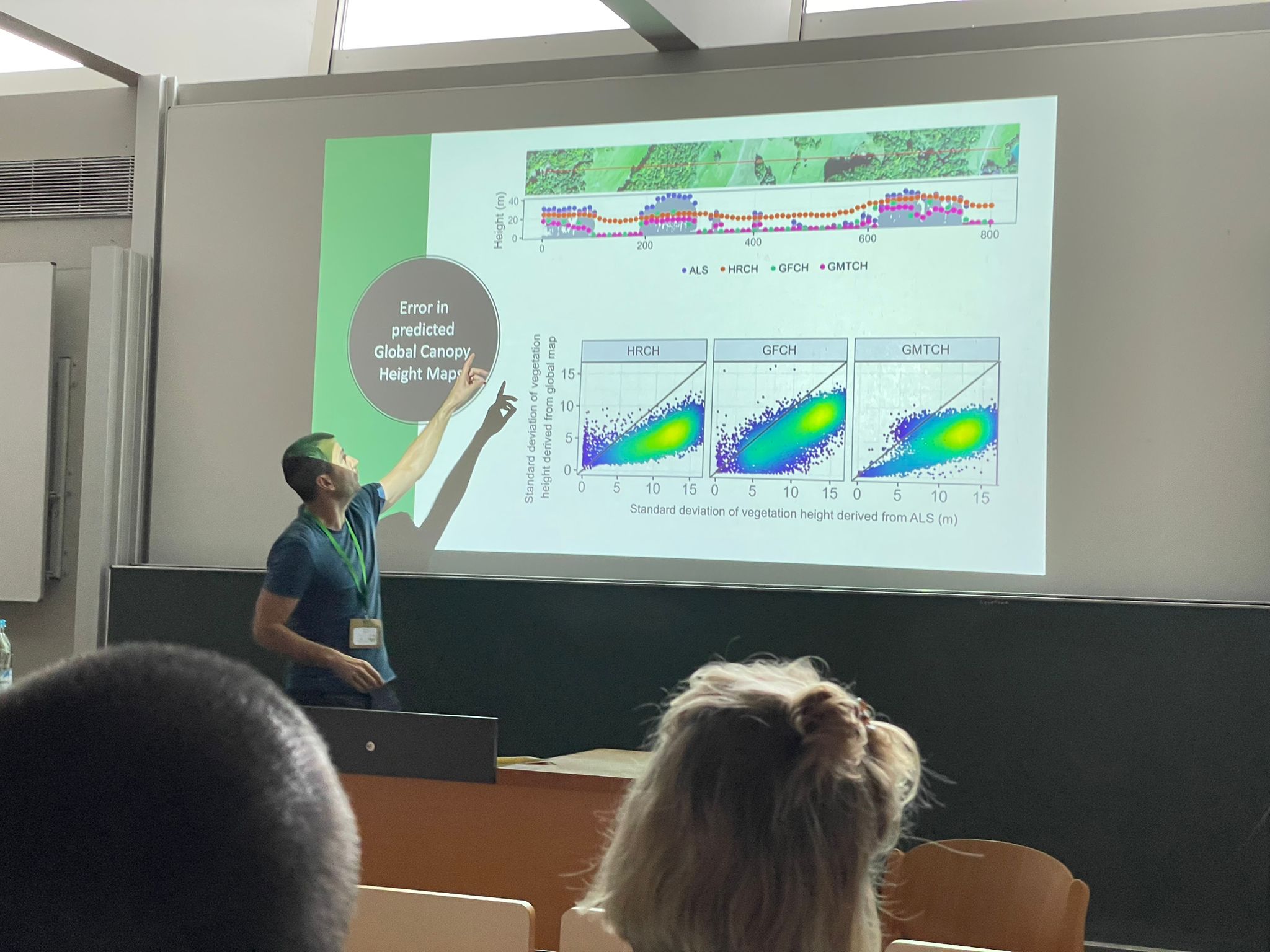
Vítězslav Moudrý from the Faculty of Environmental Sciences, Czech University of Life Sciences Prague, participated at the GfÖ24 Conference: „The Future of Sustainable Land Use Across Ecosystems, Landscapes, and Biomes“At the recent GfÖ24 conference, Vítězslav Moudrý presented a talk titled „Reaching New Heights: Unraveling the Quality of Global Canopy Height Maps.“ The presentation addressed a critical aspect of biodiversity research: ecosystem structure, specifically the vertical and horizontal distribution of vegetation. This structural element is one of the six Essential Biodiversity Variable (EBV) classes and plays a significant role in habitat heterogeneity, influencing species distribution and biodiversity.Until recently, comprehensive global data on vegetation structure was limited. However, data availability has significantly expanded over the past few years. In 2021, the University of Maryland’s GLAD team released a global forest canopy height map with a 30-meter resolution. In 2023, ETH Zurich’s EcoVision Lab developed a high-resolution 10-meter canopy height model, and in 2024, Meta and the World Resources Institute produced a 1-meter resolution global map of tree canopy height. These datasets provide essential information for ecological research, as variations in canopy height are pivotal in supporting terrestrial ecosystem diversity.Despite the unprecedented resolution of these maps, questions remain about their accuracy. Global canopy height maps are accessible but may lack the precision offered by airborne laser scanning point clouds, which require intensive processing. With more canopy height maps available, researchers face challenges in selecting the best dataset for their specific needs. Moudrý’s presentation focused on (1) the accuracy of current global and local canopy height maps; (2) their sensitivity to changes in canopy height, representing canopy heterogeneity; and (3) their usability in biodiversity modeling. He emphasized the strengths and limitations of each map and advocated for a harmonized approach to airborne laser scanning data collection across countries.The talk received positive feedback, and several attendees engaged with Moudrý during the coffee break to discuss these challenges further, fostering an exchange of ideas and perspectives on this critical topic in sustainable land use and biodiversity research.

GfÖ24: Freising
Posted
