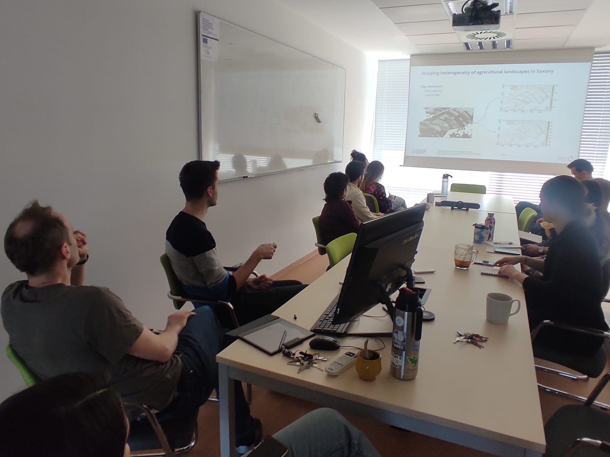
Eric Kosczor visited CZU and presented his recent work titled “Mapping the 60-year evolution of agricultural landscape heterogeneity in Saxony: A customized segmentation approach for panchromatic remote sensing data” in the course of the weekly SciSeminar at the Department of Spatial Sciences at CZU. In his research work, Eric is using historic spy imagery from the 1960s (“CORONA” imagery) to assess the agricultural landscape structure of the past and compare it with modern remote sensing data. The key objective is to develop an approach for automatic segmentation of field parcels from panchromatic satellite and aerial images, which was realized using the Segment Anything Model (SAM) together with some custom postprocessing steps. Eric explained the approach, showed results and discussed potentials and limitations. After the presentation, a lively discussion developed, mainly about the potential applications of the algorithm and about ecological questions arising from this research and how they could be tackled and validated. Eric is visiting CZU for one week to connect with other scientists and to work on his first paper for his PhD.

Eric Kosczor at CZU
Posted
