Autor: Kateřina Hájková
-
Comparison of Global Canopy Height Maps: Insights for Biodiversity Modeling
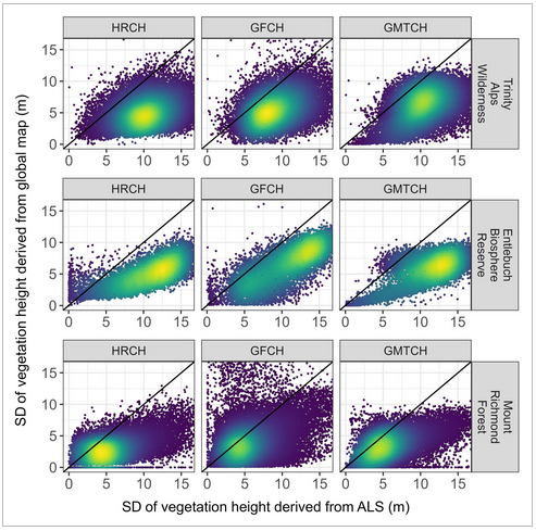
In a newly published study, researchers led by Vítězslav Moudrý have conducted a detailed analysis of three global canopy height maps: the Global Forest Canopy Height (GFCH), the High-Resolution Canopy Height Model of the Earth (HRCH), and the Global Map of Tree Canopy Height (GMTCH). The study, titled „Comparison of three global canopy height maps…
-
IENE conference in Prague
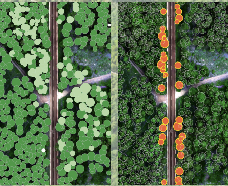
Jan Komárek from the Czech University of Life Sciences attended the IENE international conference on biodiversity and transportation. This event addresses a wide international audience and covers a broad spectrum of topics. IENE conferences typically span 3–5 days and include field excursions, lectures, poster sessions, short workshops, and training sessions. The conferences provide an interdisciplinary…
-
Make use of colorblind friendly graphs
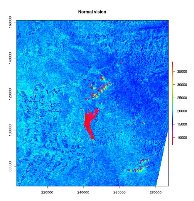
New Research Article by Duccio Rocchini: „Under the Mantra: ‚Make Use of Colorblind Friendly Graphs’“ A groundbreaking article titled „Under the Mantra: ‚Make Use of Colorblind Friendly Graphs’“ has just been published by Duccio Rocchini, addressing a critical issue in data visualization—accessibility for colorblind individuals. Introduction to Colorblindness and its Challenges in Data Visualization Colorblindness…
-
Pertnership with UBO
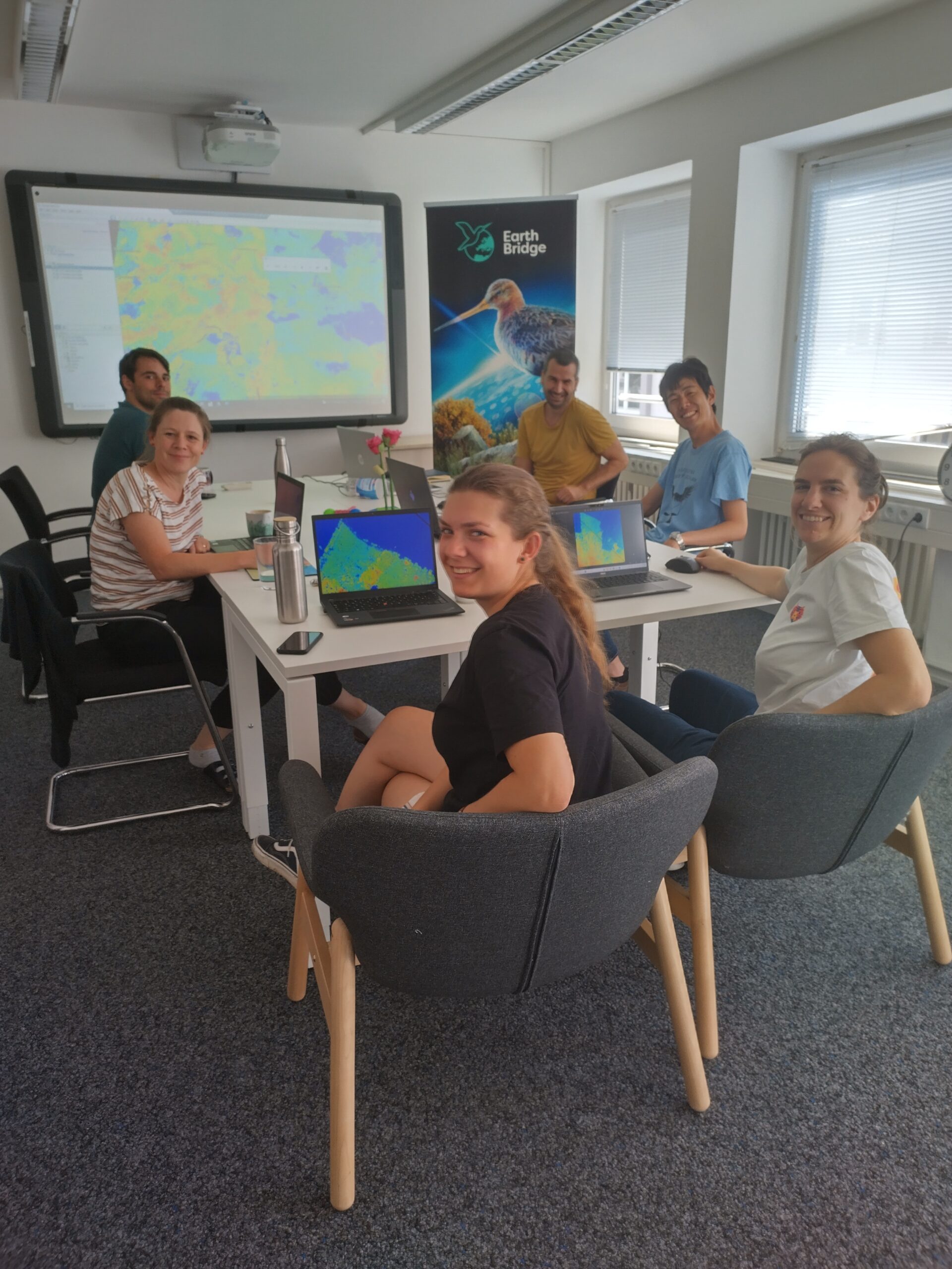
Vitezslav Moudry visited the University of Bonn in July 2024. The main aim of the visit was to establish a collaboration with Anna Cord and her newly established team. With the help of Anna Cord, Ruben Remelgado, and Stephanie Roilo, Vitezslav continued work on two studies that began during his recent visit to Bologna: the…
-
Article about the Spectral Variation Hypothesis
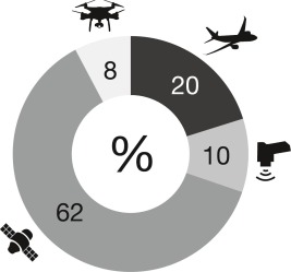
The author of the article is Michele Torresani. Introduction to the Spectral Variation Hypothesis (SVH) The Spectral Variation Hypothesis (SVH) was introduced two decades ago as a way to connect biodiversity and the spatial patterns observed in remote sensing data, specifically in terms of spectral heterogeneity (SH). The hypothesis suggests that areas with high SH…
-
New article by Vitezslav Moudry Optimising Occurrence Data in Species Distribution Models
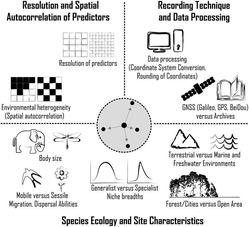
Introduction to Species Distribution Models (SDMs) and Their Challenges Species distribution models (SDMs) are essential tools used to understand species distributions, ecological niches, and habitat suitability. Despite their broad applicability in ecology and conservation, SDMs often encounter significant challenges due to limitations in the available species occurrence data. These challenges include small sample sizes, positional…
-
ECCB conference in Bologna
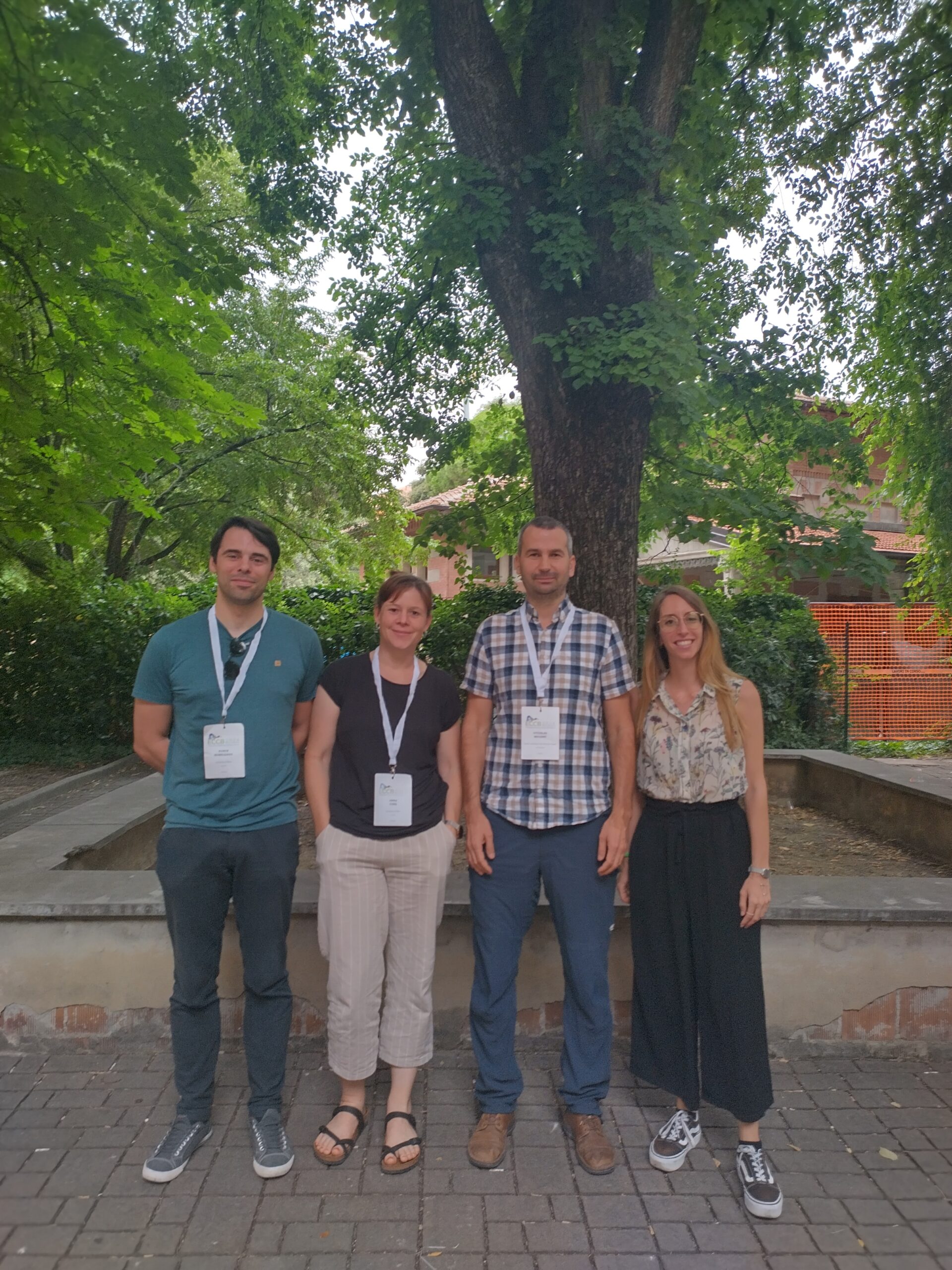
The 7th European Congress of Conservation Biology, held in the historic city of Bologna, was a gathering of some of the brightest minds in the field. Among the distinguished attendees were Michela Perrone and Vitezslav Moudry, who brought significant contributions to the event. Moudry, in particular, captivated the audience with his presentation titled „Availability and…
-
Vojtech Bartak’s Collaborative Visit to Technische University of Dresden
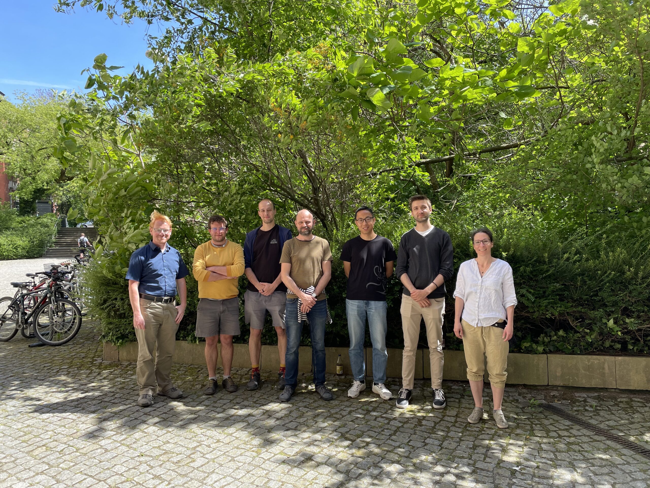
In May 2024, Vojtech Bartak embarked on an insightful and productive visit to the Dresden University of Technology (TU Dresden). The week-long visit was aimed at fostering collaboration and innovation in the field of remote sensing and canopy height prediction. Bartak teamed up with Lucas Kugler, a promising young researcher, under the guidance of Professor…
-
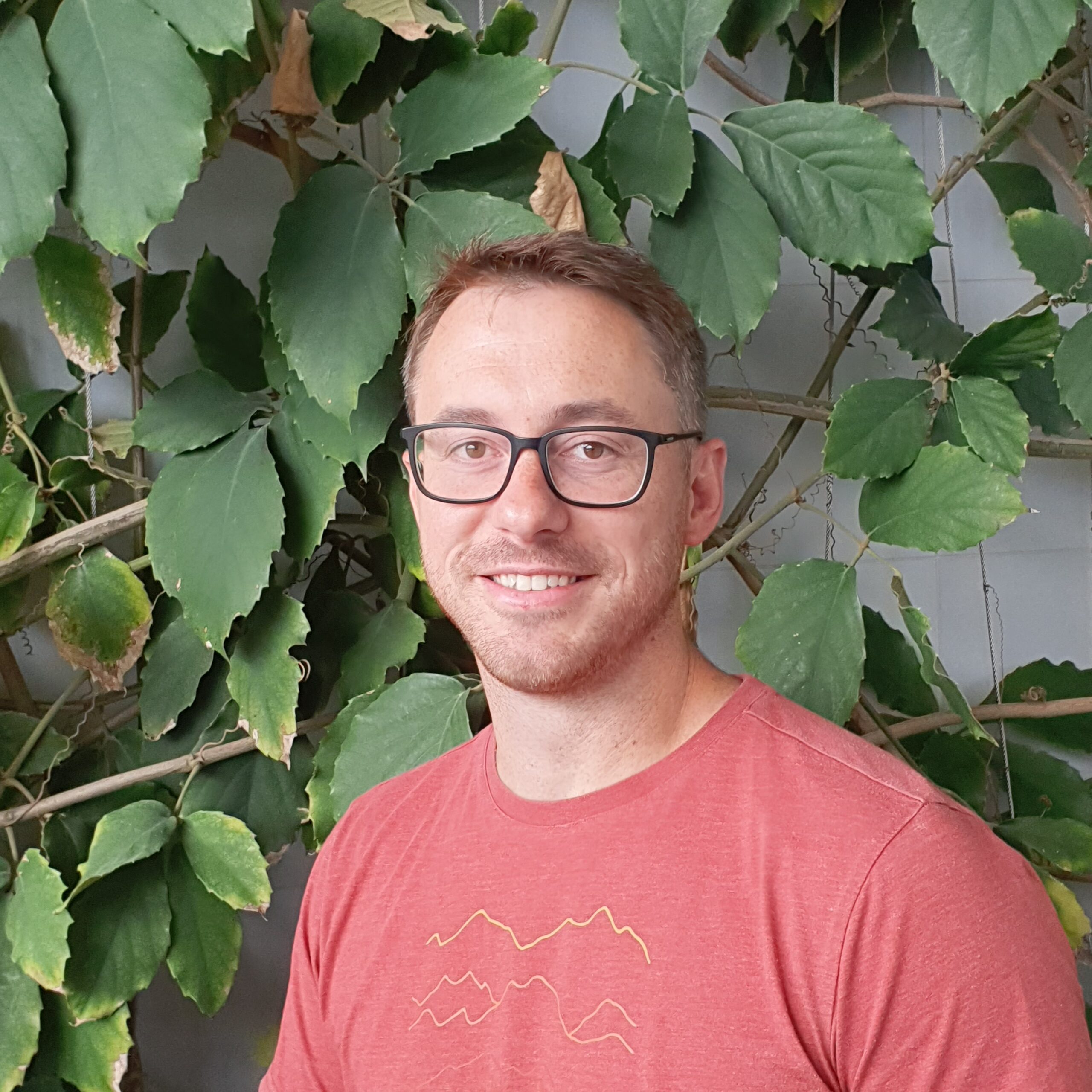
David Moravec Receives MSCA Grant to Advance Forest Moisture Monitoring
Ing. David Moravec, Ph.D., has been awarded the prestigious Marie Skłodowska-Curie Actions (MSCA) grant, marking a significant milestone for the Czech University of Life Sciences in Prague (ČZU). This grant is pivotal in bolstering human resources in research and development (R&D) at ČZU, ensuring the university continues to achieve excellent results in R&D, attracts and…
-
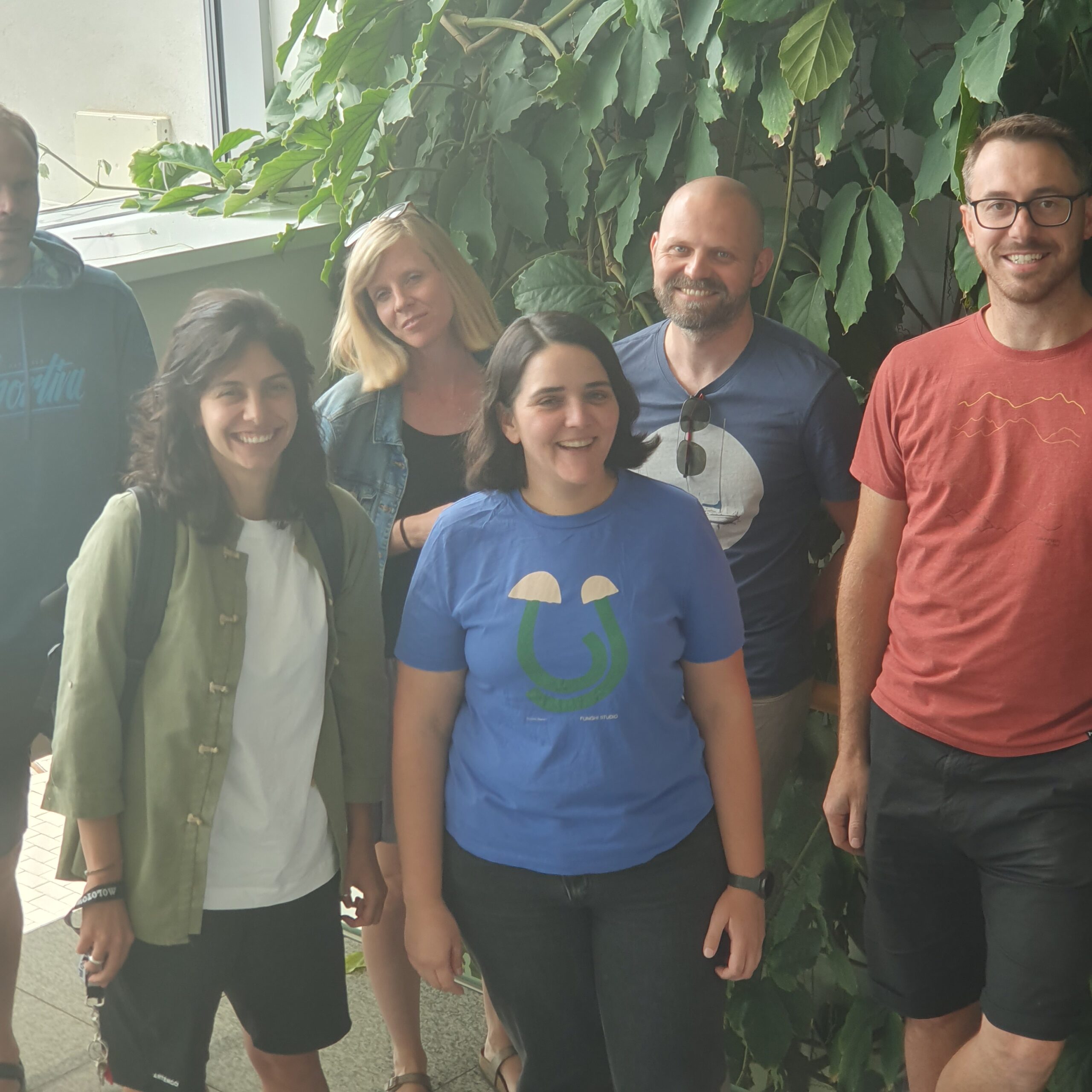
Elisa Marchetto at Department of Spatial Sciences, CZU
Elisa Marchetto recently visited the Czech University of Life Sciences Prague (CZU), where she collaborated with the team from the Department of Spatial Sciences on an important ecological research initiative. The focus of this collaborative project is on addressing bias in ecological data to ensure more accurate biodiversity estimates. Main Collaborative Project: Addressing Bias in…
